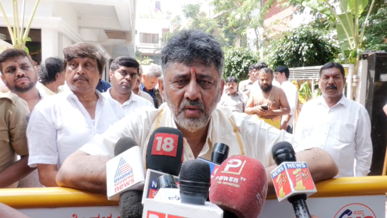
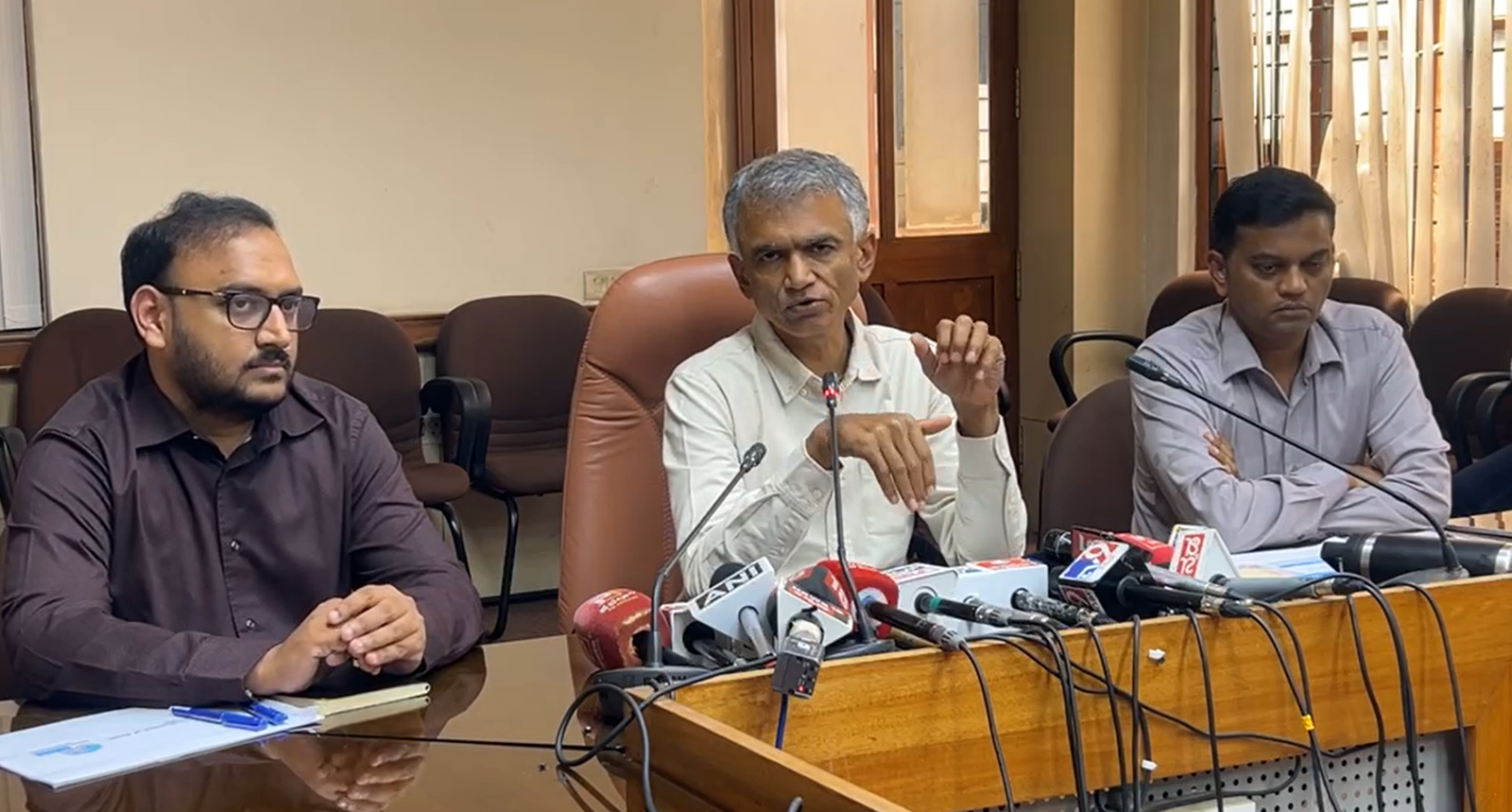
Krishna Byre Gowda at the media briefing. Image: Supplied.
Bengaluru: Minister Krishna Byre Gowda has announced a notified road grid for areas within Bengaluru Urban district but outside the GBA limits, asking property owners to leave the earmarked road space clear when building houses or layouts.
Speaking at Vikas Soudha on Tuesday, September 29, he said the move was intended to reserve space for roads before rapid urbanisation made planned infrastructure difficult. Construction of the entire network could take five to ten years and would proceed in phases, he said.
Road widths notified up to 90 metres
Byre Gowda said hundreds of roads had been included in the notification. Existing zilla panchayat, Public Works Department and state highway corridors, some only 10 metres wide, had been notified for widths of 30 metres, 45 metres and, in some cases, up to 90 metres.
The notified widths set aside space for future development; the minister’s announcement did not mean that all of these roads had already been physically widened. He said layouts and houses would have to leave the required road space under the existing legal framework.
The road grid identified in the master plans of BMRDA and other local planning authorities would connect taluk and hobli centres, major district roads, state highways, the Peripheral Ring Road and the Satellite Town Ring Road. The corridors have been notified as CDP roads, he said.
Planning water and sewerage alongside roads
The minister said the entire Bengaluru Urban district had been brought under BWSSB’s jurisdiction the previous week. A master plan was being prepared for drinking-water supply and the phased provision of sewerage facilities.
He said areas outside the present GBA limits were already urbanising and could eventually become part of the wider city. Citing experts, he said the urbanised footprint could grow from around 750 square kilometres to between 1,400 and 1,800 square kilometres.
Without advance planning, these areas could face the traffic, water-supply and drainage difficulties already experienced within the city, he said. The government wanted to prevent those problems from being repeated in newly developing areas.
Lessons from earlier expansion
Byre Gowda said Bengaluru had expanded over the past 25 years without adequate advance preparation. Referring to the inclusion of 110 villages and seven urban municipal councils about two decades ago, he said governments were still struggling to provide complete and lasting water, sewerage and road infrastructure in those areas.
Chief Minister D K Shivakumar had directed officials to learn from earlier planning failures and prevent their recurrence, he said. The minister added that identifying new road corridors in already built-up layouts was difficult, making advance reservation in emerging areas essential.
Public notices and phased construction
Byre Gowda said details of the notification were available on BMRDA’s website and asked people to check them before construction. He warned that building houses or layouts on land earmarked for the notified roads would violate the rules.
Officials had been instructed to prepare videos showing the old and newly notified roads and upload them for public awareness. BMRDA, zilla panchayat and PWD officials would jointly identify the corridors, with information displayed on gram panchayat and revenue department noticeboards, he said.
The zilla panchayat chief executive officer had been directed to coordinate the awareness effort. As the identified network extended over thousands of kilometres, departments had been asked to develop it by priority rather than attempt the entire network at once.
BMRDA Commissioner Rajendra Cholan, Bengaluru Urban Zilla Panchayat CEO Yathish R and KRDCL Managing Director Arun Kumar were among the officials present.
About the Author