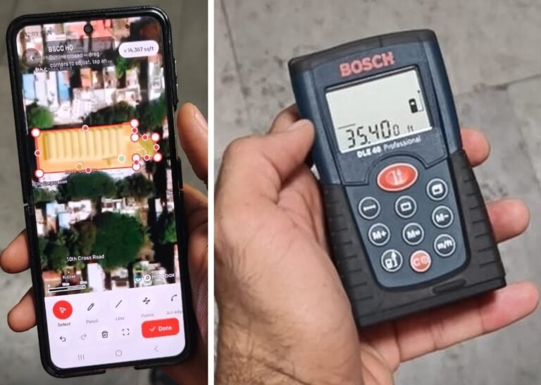
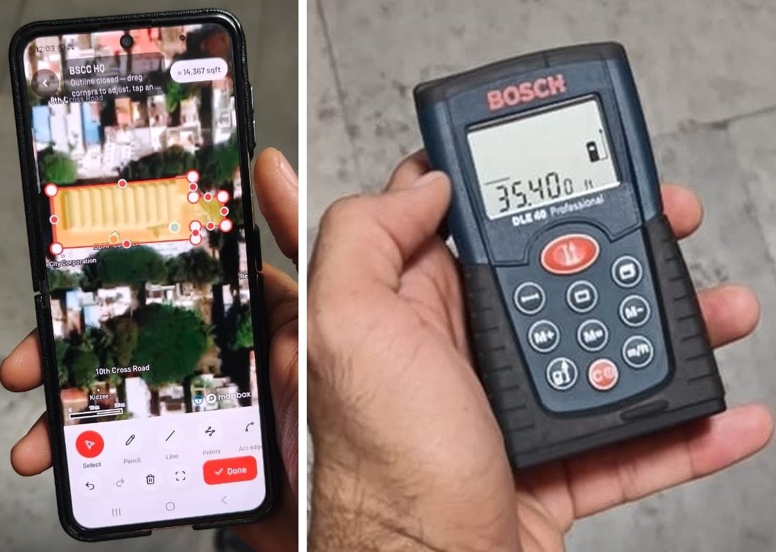
A mobile property-mapping screen and a laser distance meter shown in source photographs supplied by Bengaluru South City Corporation.
Bengaluru: Bengaluru South City Corporation has decided to conduct an experimental property-area survey using laser meters and satellite data to check whether owners have correctly declared their built-up area and are paying the appropriate property tax, Commissioner K. N. Ramesh said.
The commissioner clarified that the method remains a pilot exercise and the corporation has not taken a final decision on adopting it.
The distinction is significant for property owners: the announcement concerns testing a survey method, rather than introducing a new property-tax rule.
How the survey would work
Explaining the proposed process, Ramesh said building details would be recorded through a mobile application, while polygons drawn on Google satellite imagery would map a structure’s outer perimeter and footprint.
Laser devices would then be used to measure interior rooms and floor spaces and document the property’s total built-up area.
According to the commissioner, laser equipment can calculate distances to walls and spaces, offering an alternative to traditional measuring tapes or videography used for building measurements.
The exercise is intended to identify cases in which the area declared by a property owner is lower than the actual area and check whether the correct tax is being paid, he said.
Adoption depends on trial results
Ramesh said drones had previously been used for surveys. The corporation is now testing a method combining a mobile application, satellite imagery and laser meters.
If the experimental initiative succeeds, the corporation will consider formally adopting the model, he added.
About the Author